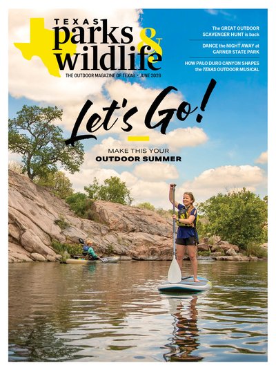
Overview
Not long ago, during one of many trips with my husband to Inks Lake State Park in our camper van, Vincent VanGo, I pulled on a pair of goggles and plunged into the blue-green water.
The sun was just coming up, casting a golden hue over the campground. I could smell bacon cooking, and campers were starting to emerge from their tents. As I took my first strokes in the lake, my husband glided alongside me on his stand-up paddleboard. For the next hour, we made our way through the expansive no-wake zone, pausing to admire blue herons and listening to fish splash.
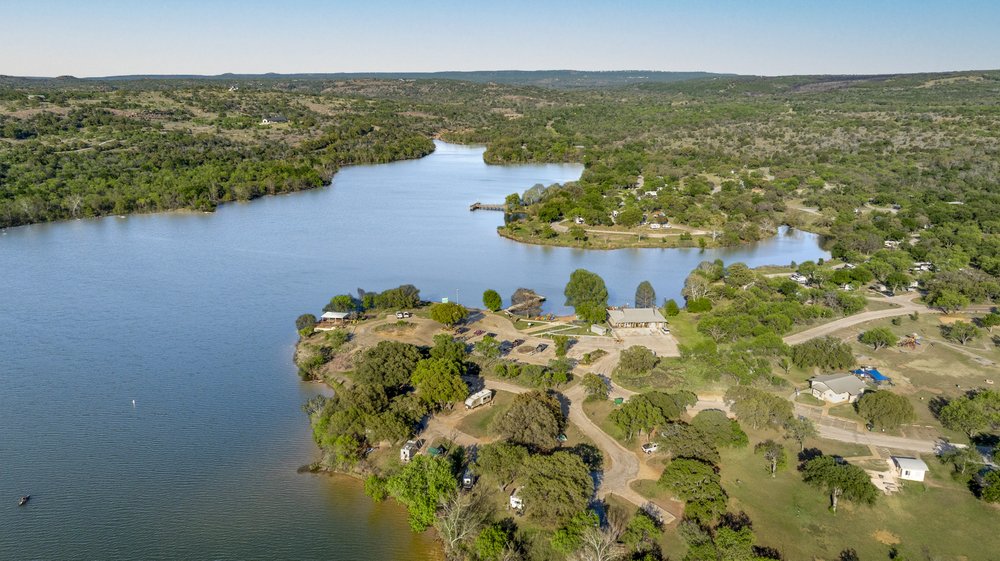
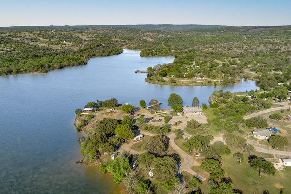
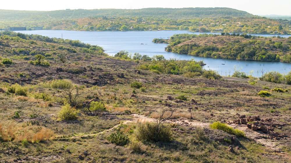
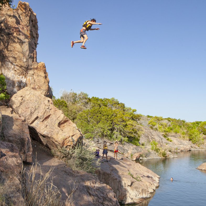
I first visited Inks Lake more than 50 years ago. I caught my first fish here, with a fingernail-sized bit of American cheese as bait. I’ve also raced a triathlon in the park and participated in a swim race that started at the boat ramp. The park straddles the Llano Uplift and is home to some of the oldest exposed granite in the state. You can see it all over the park — especially around the Devil’s Waterhole, a favorite swimming spot.
The history runs deep. The parks board acquired these 1,200 acres in 1940. Civilian Conservation Corps crews working at nearby Longhorn Cavern State Park in the 1930s planned to build out Inks Lake next, but when World War II started, funding dried up. The project was put on hold, and the park finally opened in 1950.
When you visit, you not only step into nature but also a busy campground. Campsites bustles with activity. You’ll see kids on swing sets, teenagers jumping off granite slabs into the water, RVers grilling up dinner and paddlers exploring coves.
One day, park visitors will have more room to roam. Officials are working through a development plan to expand the park onto nearby property already owned by the state.
Three Hikes
Easy: Valley Spring Creek Trail (0.9-mile loop)
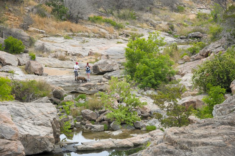
This loop trail winds among the granite formations surrounding Spring Creek, which feeds into the Devil’s Waterhole. Starting from the south side of the lagoon, follow the trail up and into a thicket of oaks, mesquite and Ashe juniper. The path leads across a broad slab of rock, then opens into an area that looks like it was made by a giant playing with lumps of modeling clay. Prickly pear cacti cling to outcrops, and turkey vultures perch in the trees.

Chase Fountain
Chase Fountain
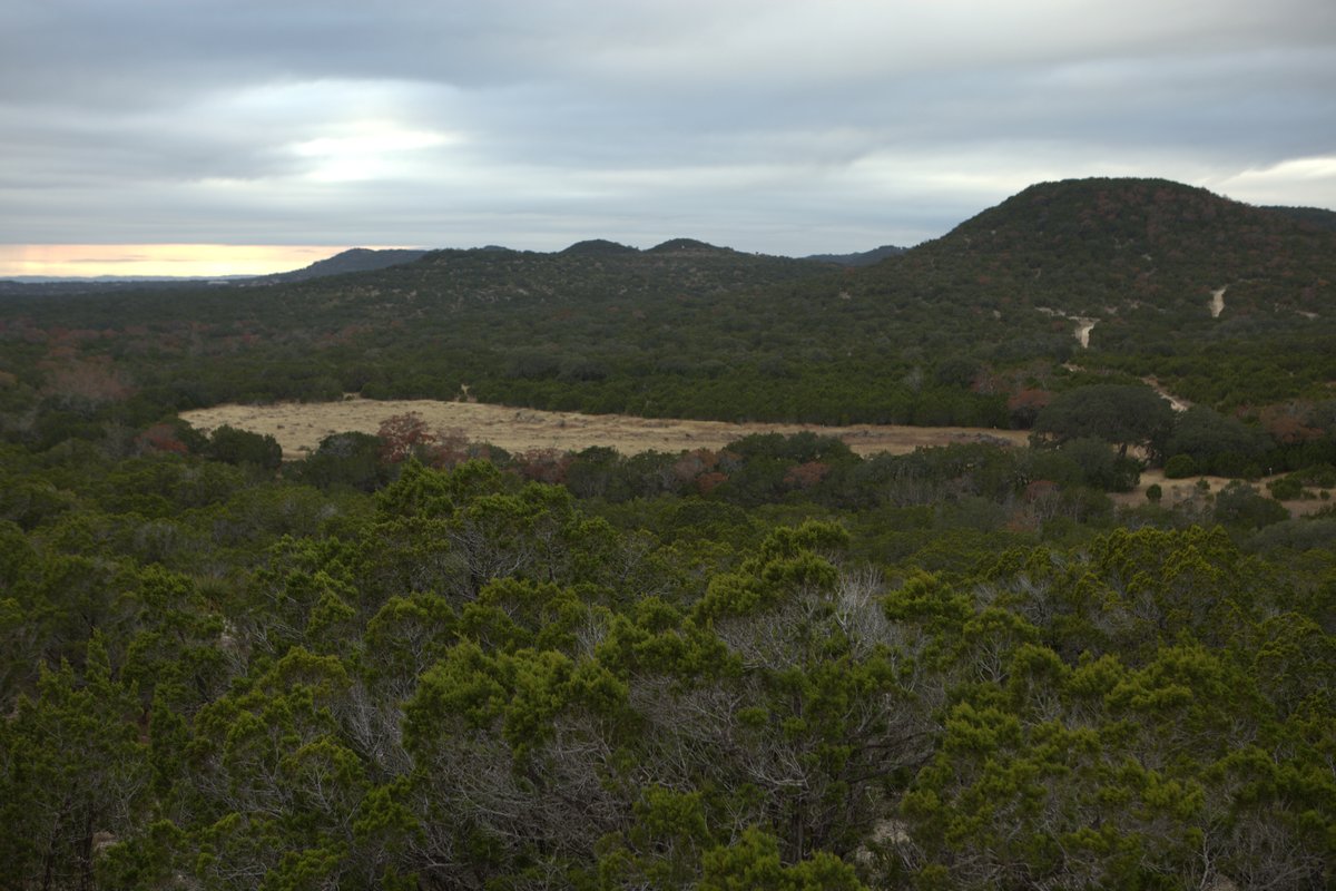
Moderate: Pecan Flats Trail (1.8-mile loop)
The Pecan Flats Trail loops through the much quieter southeastern section of the park. Just after crossing Park Road 4, the trail curves through a grove of pecan trees, where several primitive campsites and a pit toilet are located. The trail here is wide and smooth, and suitable for strollers, but once you pass the cutoff trail, it narrows and begins to twist. Eventually the landscape opens, and you reach an overlook with views all the way to Buchanan Dam. In early summer, wildflowers put on a show.

Chase Fountain
Chase Fountain
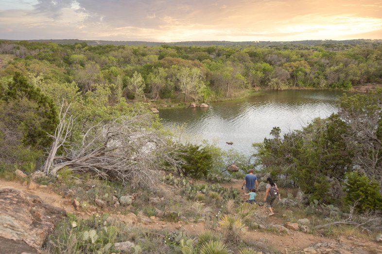
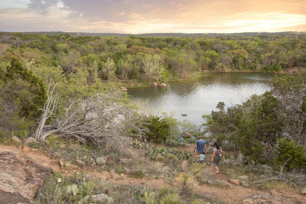
Challenging: Devil’s Backbone Nature Trail (1.3 miles one way)
The Devil’s Backbone Nature Trail connects the park’s bird blind to the Valley Spring Creek Trail. It’s accessible either from the parking lot near the blind, located off Park Road 4, or by walking from Devil’s Waterhole. Either way, it leads to arguably the best spot in the park to take in a sunset — a bench perched on the hillside at the end of an inlet.
Sonja Sommerfeld
Sonja Sommerfeld
Selfie Spots

Devil's Waterhole
Even if you don’t jump off Chicken Rock, you can snap a selfie with someone else taking the plunge in the background.
Pecan Flats Overlook
Make the hike on the Pecan Flats Trail to an overlook that delivers spectacular vistas of the Hill Country, including Buchanan Dam.
Lake Trail
Park Superintendent Daniel Stauffer recommends the high point of the Lake Trail, where you’ll get an expansive vista of the lake — and a perfect shot.
Plan Your Visit
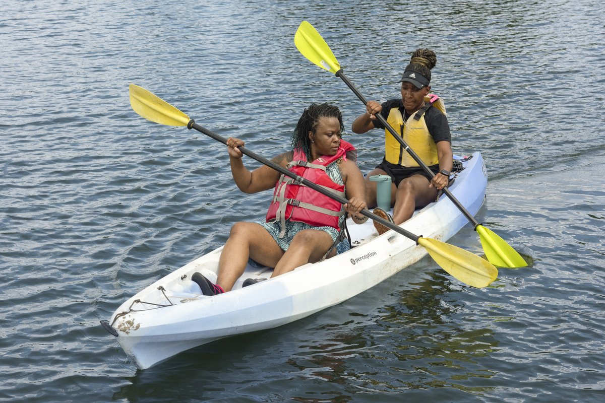
Water Sports
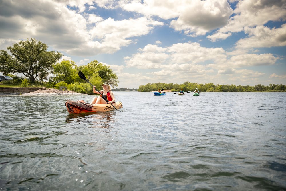
Whether they plan to swim, paddle or float, most visitors come to the park for the lake. Because the lake serves as a municipal water source, the lake level remains constant regardless of drought conditions. That means the boat ramp and two fishing piers are always available.
The big no-wake zone around the park makes it perfect for swimming and paddling. I can swim long distances without ever making a flip turn (or smelling like chlorine), and the park store rents kayaks, canoes and stand-up paddleboards. Its fleet of paddleboats includes some shaped like rubber ducks, pink flamingos, pelicans, dragons and blue herons.

Maegan Lanham
Maegan Lanham
Wildlife Watching
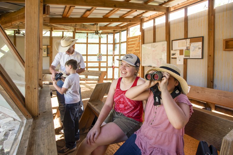
The Friends of Inks Lake group hosts birding programs at the park’s wildlife viewing station off Park Road 4 on the north side of the park. They’ll loan you binoculars so you can catch a glimpse of a painted bunting or whatever else drops by for a visit. Deer, fox, raccoons, squirrels and armadillos live in the park too.

Chase Fountain
Chase Fountain
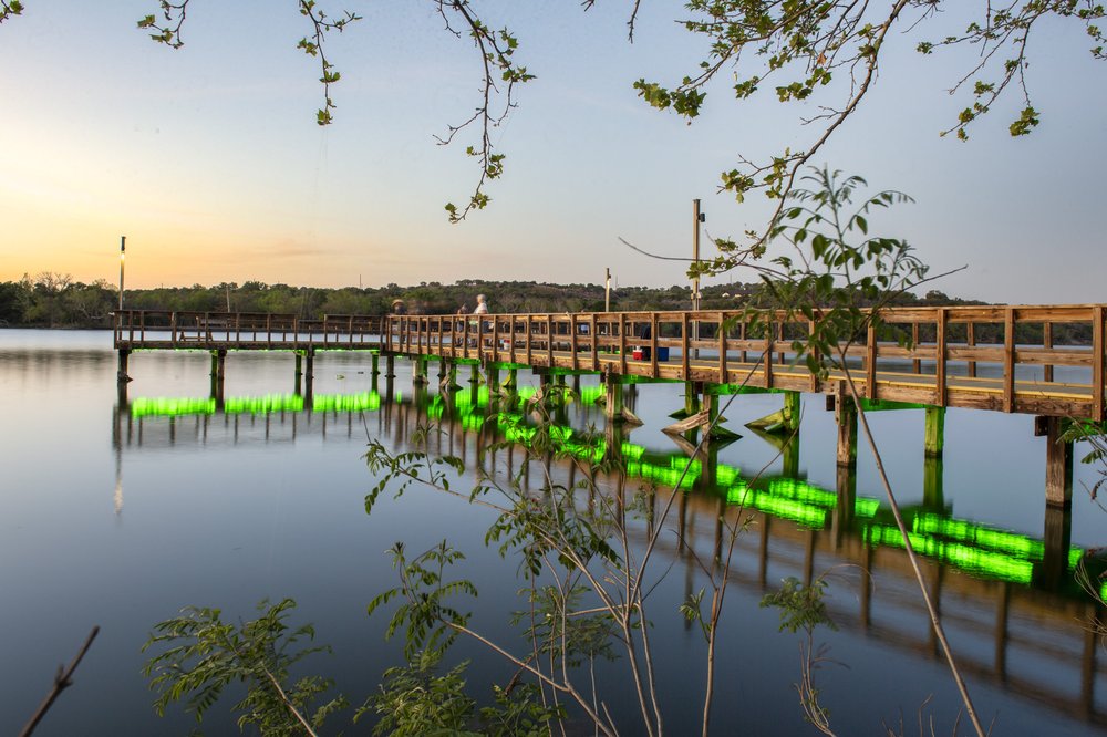
Fishing
Two fishing piers jut into the lake, offering easy access for anglers hoping to catch sunfish, catfish or bass. No fishing license is needed to fish from a pier or shore in any state park, and you can borrow rods, reels and tackle boxes. If you’re in a kayak, head to Stumpy Hollow, where dozens of old tree stumps make great cover for fish.

Biking
The park’s off-road trails aren’t very bike friendly, but bicycles are allowed on the roads that wind through the park’s interior.