Wanderlist
Run, River, Run
Texas’ longest rivers carry life-giving water across the state.
Rivers tell stories. In Texas, they flow from northwest to southeast, witnessing generations of Texans paddling, fishing, swimming and even bathing and doing laundry in days of old. Fifteen major rivers cross the varied landscapes of the state, eventually flowing into seven major estuaries. They support more than 200 reservoirs, countless riparian (riverside) habitats, wetlands and terrestrial areas. Here are some of the longest rivers in the Lone Star State.

Earl Nottingham | TPWD
RIO GRANDE – 1,896 miles
Texas’ longest river originates in the San Juan Mountains of southwestern Colorado, flowing south and southeast to empty into the Gulf of Mexico. As a result of the Treaty of Guadalupe Hidalgo in 1848, this river became the U.S.-Mexico boundary. It is the second-longest river entirely within or bordering the United States.
Russell A. Graves
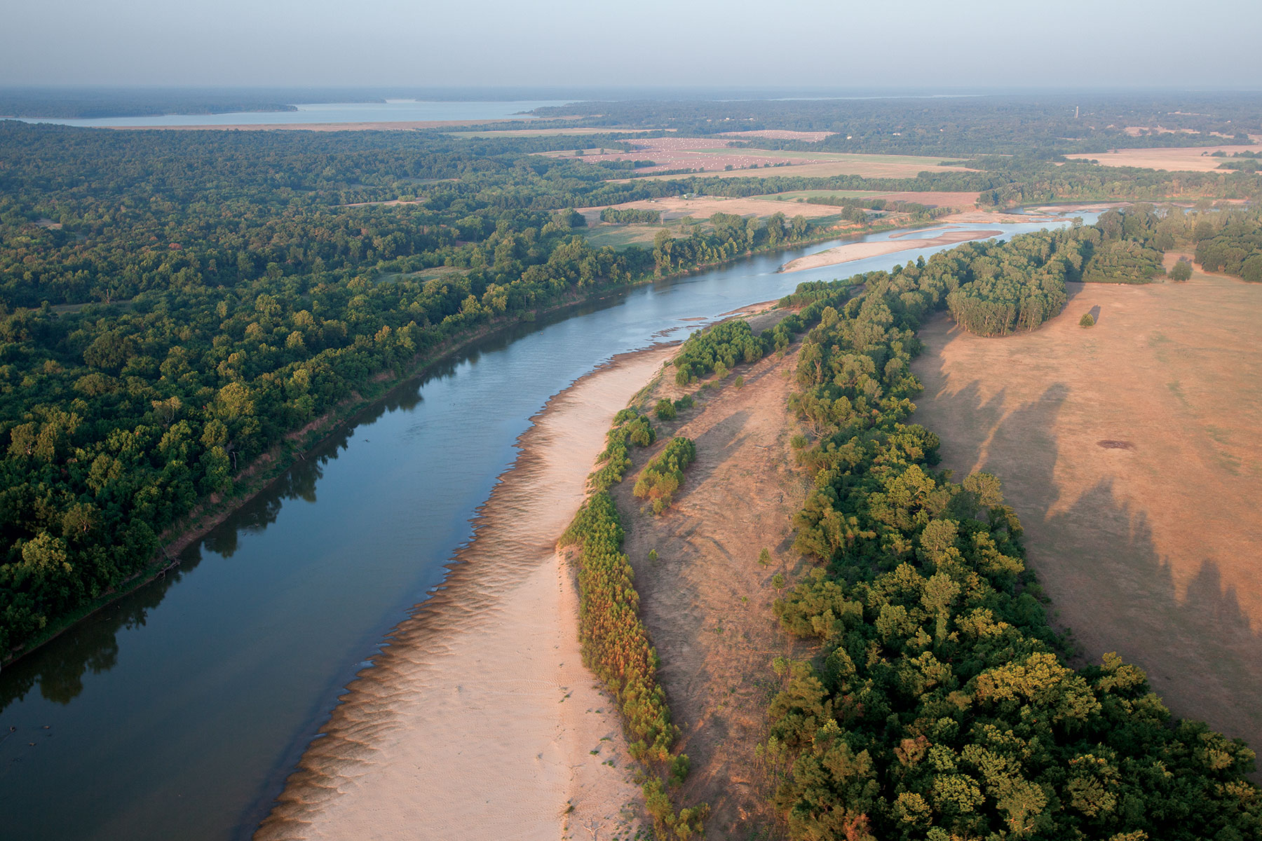
RED RIVER — 1,360 miles
As the second-longest Texas river, this stream has four main branches: Prairie Dog Town Fork, Elm Fork, North Fork and Salt Fork. With a name derived from its color, the Red River carves out Palo Duro Canyon. The river’s shifting banks spurred debate over the precise location of the Texas/Oklahoma boundary as late as the 1990s.

Sonja Sommerfeld | TPWD
BRAZOS RIVER — 1,280 miles
With a watershed that extends into New Mexico, the Brazos rises where the Salt Fork and Double Mountain Fork join to form the main stem of the river in the Rolling Plains, traveling southeast to the Gulf of Mexico two miles south of Freeport. The original name of this river was Brazos de Dios, meaning “arms of God.”
Earl Nottingham | TPWD
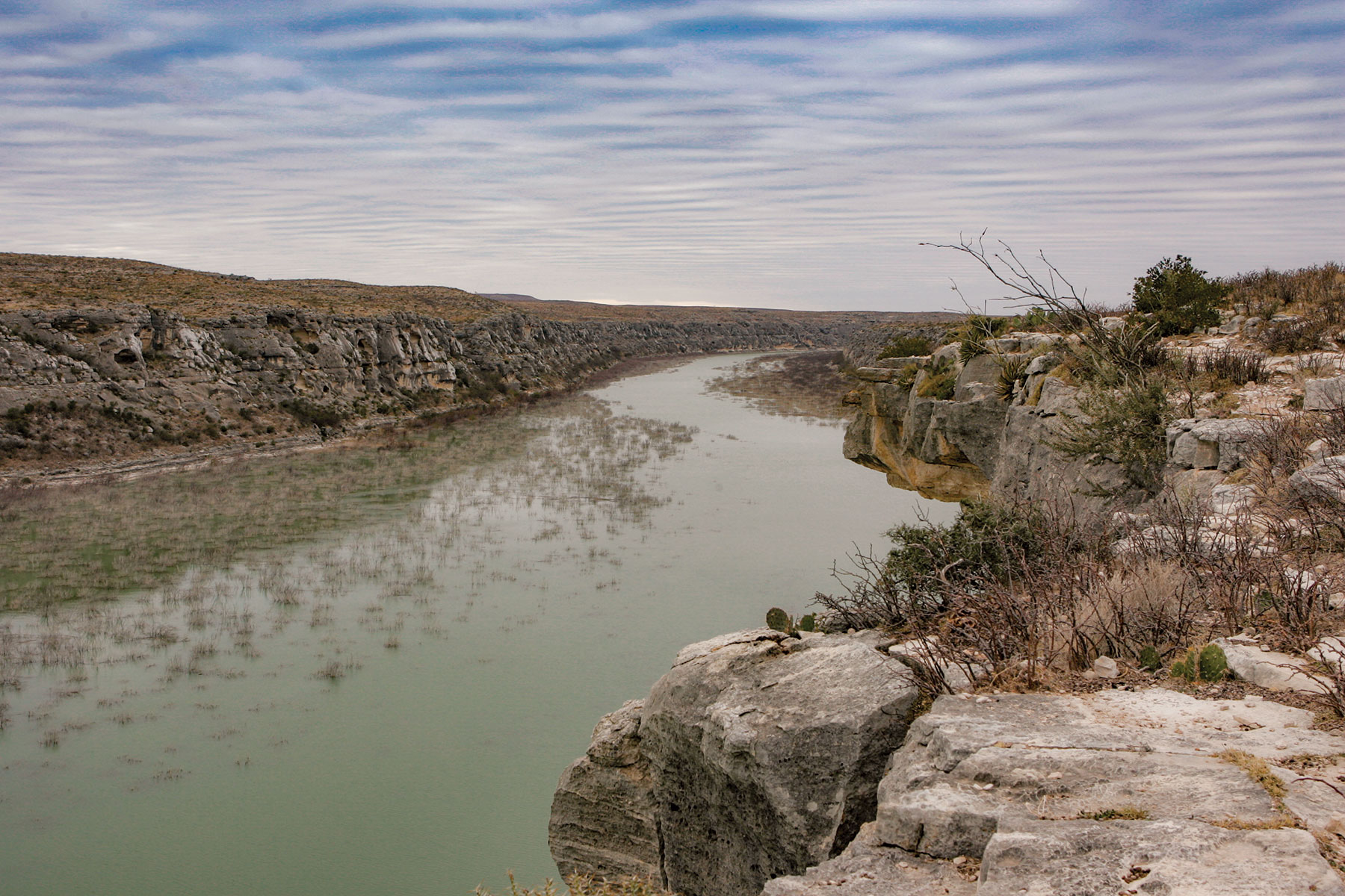
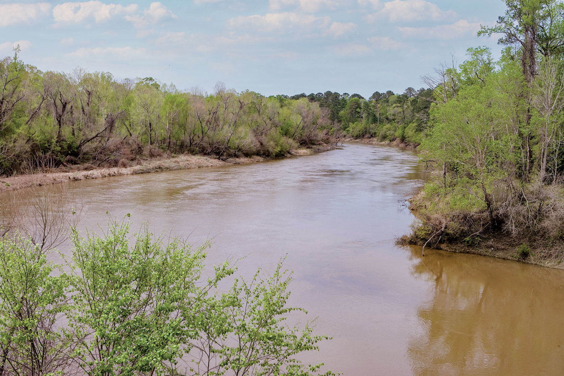
PECOS RIVER — 926 miles
This stream flows alongside the rocky cliffs of West Texas. It begins on the western slope of the Santa Fe Mountains in New Mexico and flows south to meet the Rio Grande. Notable settlers along the river were the Pecos Pueblo Indians, who arrived around the ninth century.
Sonja Sommerfeld | TPWD
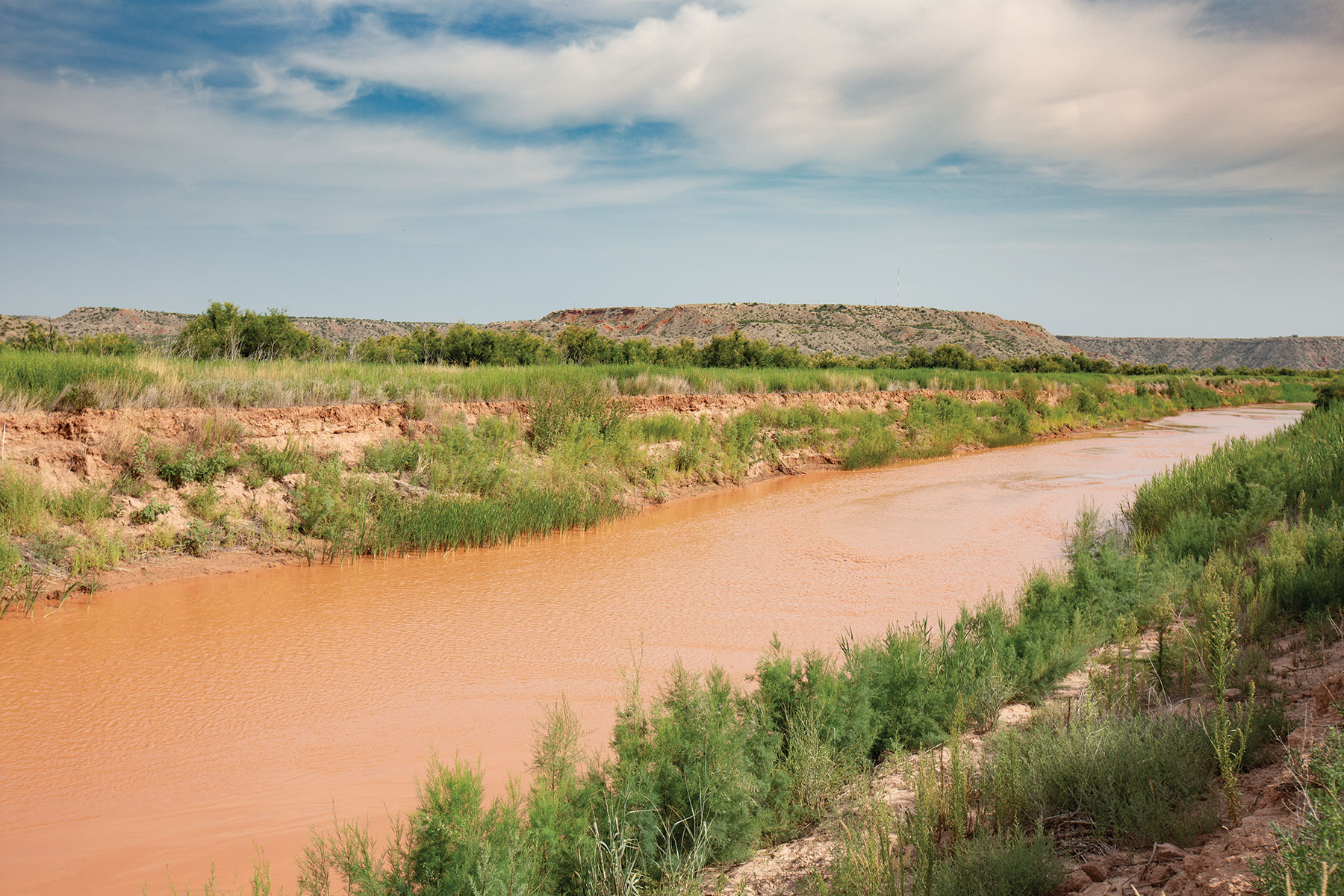
CANADIAN RIVER — 906 miles
This river begins in the Sangre de Cristo Mountains in Colorado. Early explorers believed the river flowed into Canada and thus named it. While only 190 miles of the river are in Texas (flowing across the Panhandle), that portion is notable for its Pueblo Indian archeological sites.
Chase Fountain | TPWD
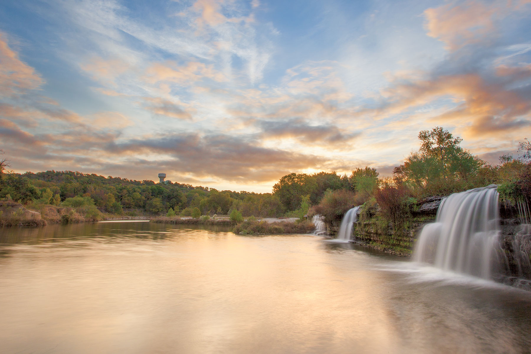
COLORADO RIVER — 862 miles
This Texas stream is one of the longest rivers to start and end in a single state, and many cities, such as Austin, rely on it for their municipal water. The Colorado River begins in northwest Texas and flows into the Gulf of Mexico at Matagorda Bay.
Darren Huski
Trinity RIVER — 550 miles
The Metroplex’s prized river begins in three main branches: East Fork, Elm Fork and West Fork. Its entire course is in Texas, and it makes an appearance in many cities around Dallas and Fort Worth. The Elm Fork and West Fork come together to form the Trinity River proper near downtown Dallas.
Earl Nottingham | TPWD
NECHES RIVER — 416 miles
To float this river is to see beautiful scenes of Pineywoods nature. The Neches River begins in eastern Van Zandt County, flowing southeast to empty into the Gulf of Mexico near Port Neches. Major cities in the Neches River basin are Tyler, Nacogdoches and Beaumont.
Larry Hodge | TPWD
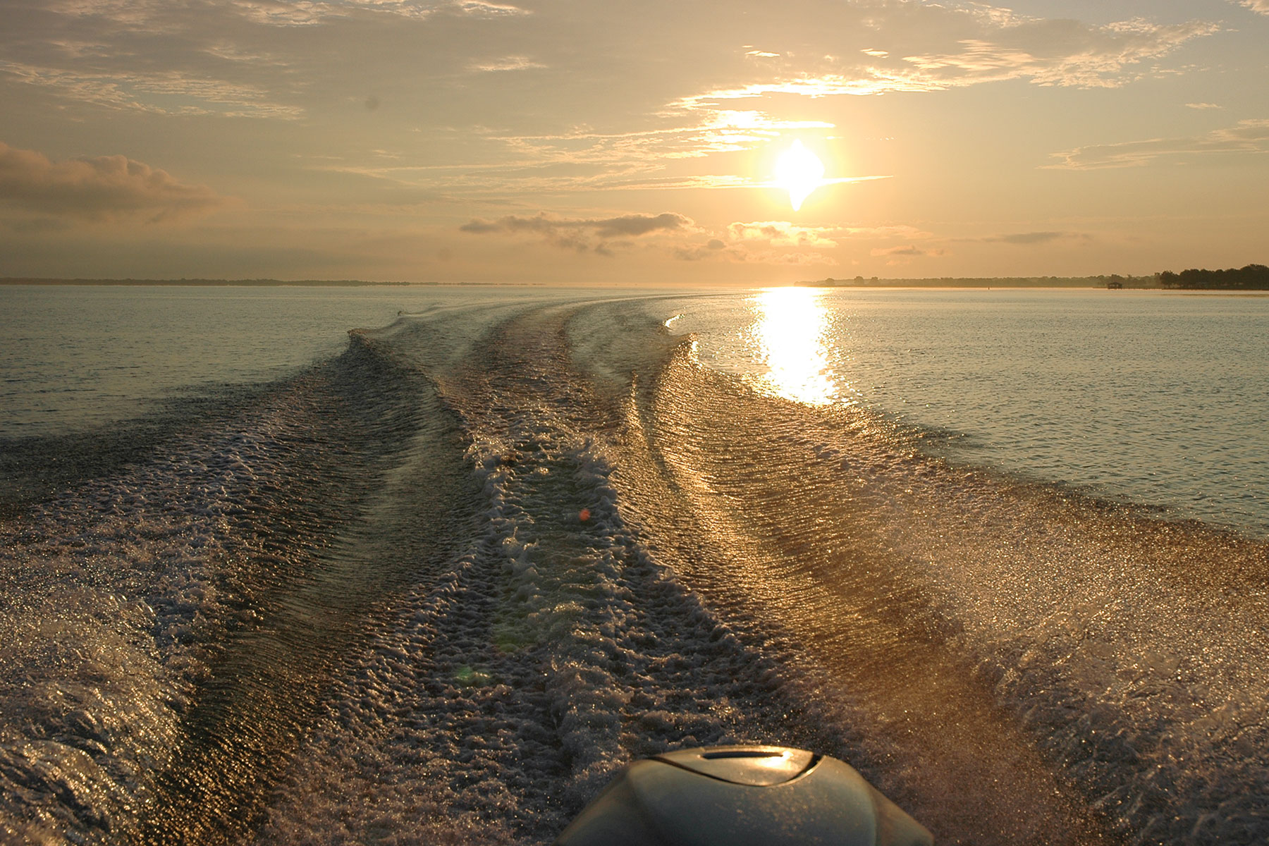
SABINE RIVER — 360 miles
A river amid the forest — this one rises in three different branches: the Cowleech Fork, Caddo Fork and South Fork. At the southeastern corner of Panola County, the river becomes the Texas-Louisiana boundary, eventually emptying into Sabine Lake.
kathy adams clark | kac productions
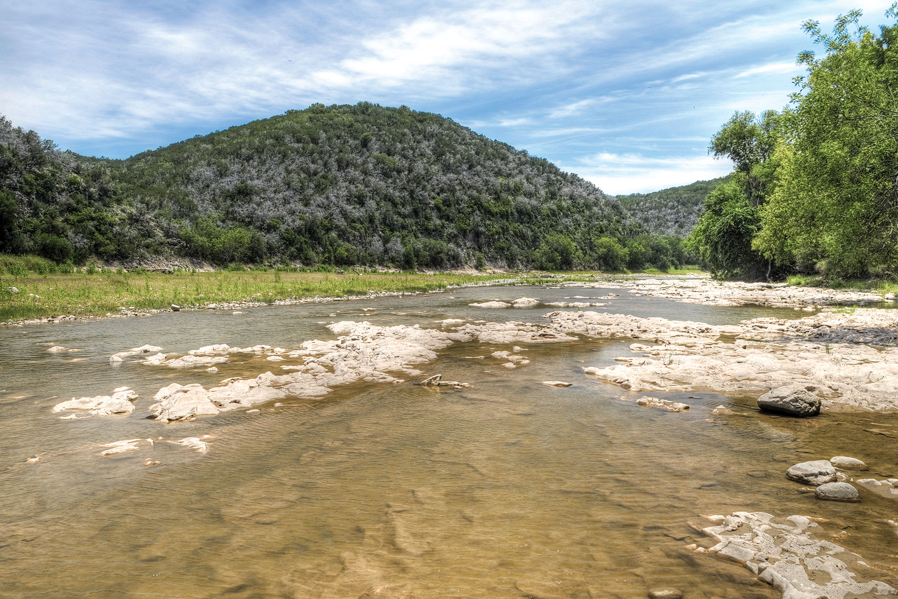
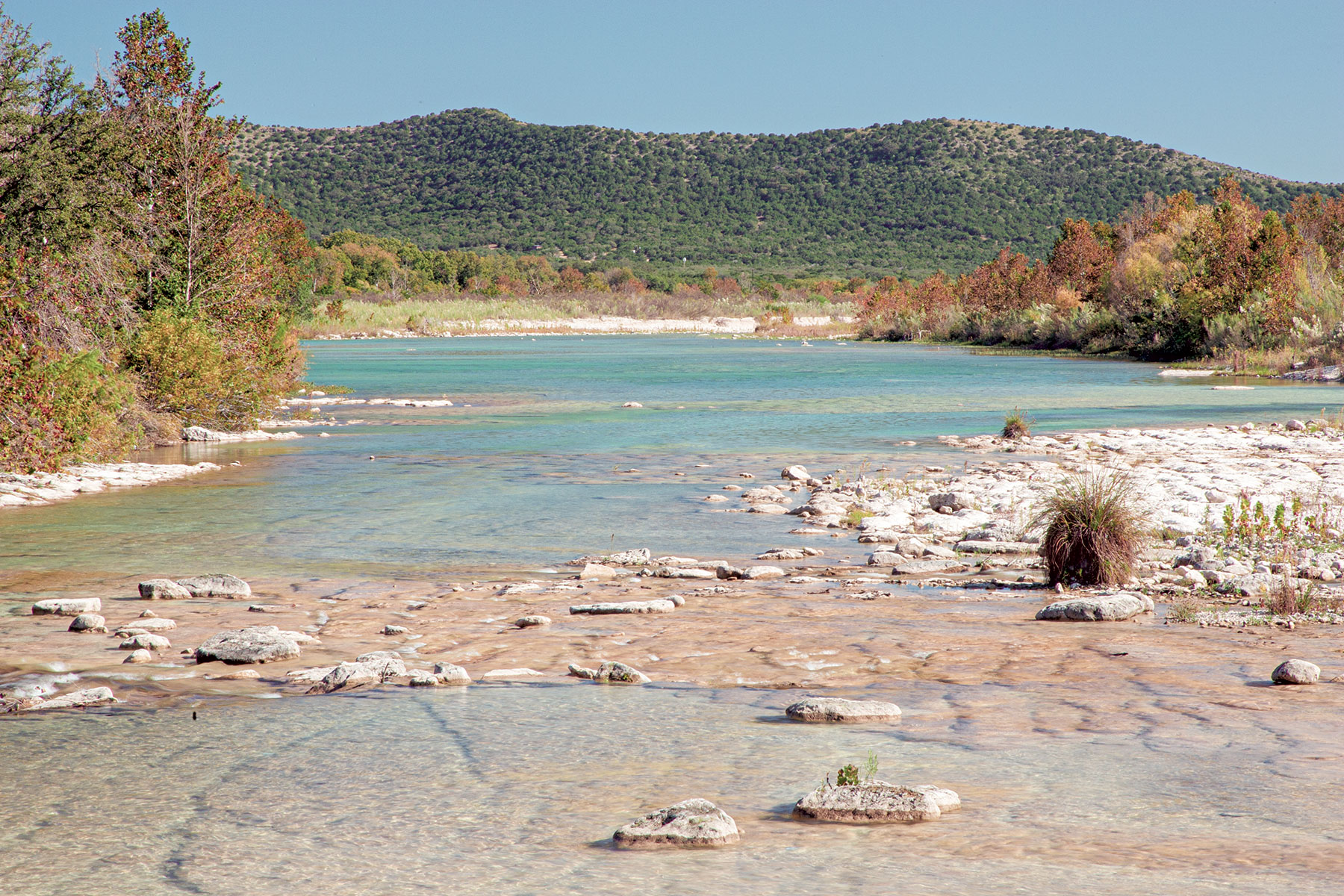
NUECES RIVER – 315 miles
This stream rises in the Edwards Plateau and flows south and southeast to dump into Nueces Bay, making appearances in cities such as Uvalde and Corpus Christi. It’s a river of contrasts, beginning as a spring-fed Hill Country stream before meandering along the South Texas plains.